County-level monitoring gives state drought picture
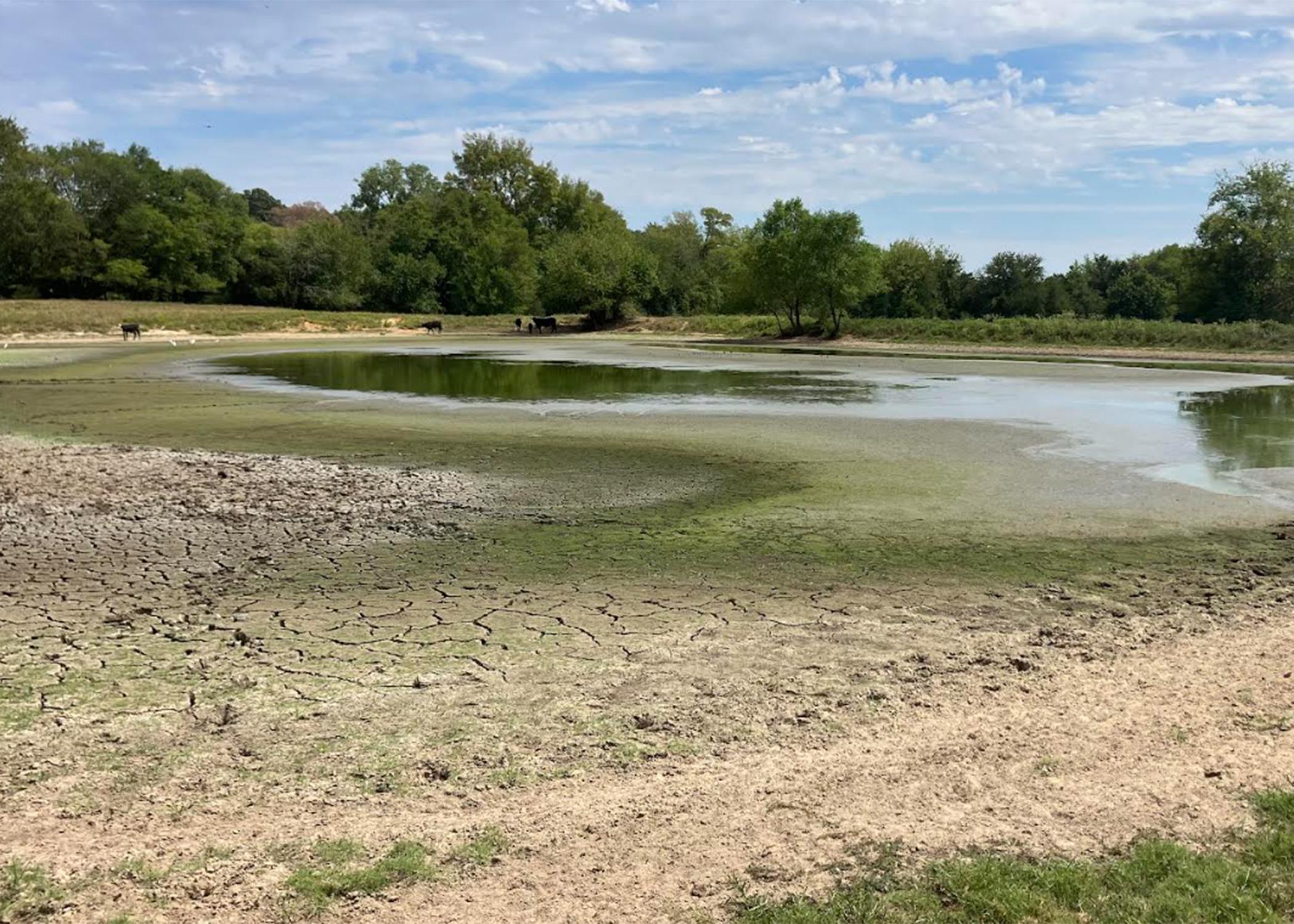
STARKVILLE, Miss. -- Knowing that the severity of a drought is more than a measure of weather data, Mississippi State University Extension Service agents across the state gather photos and data weekly to document actual conditions.
Mike Brown, MSU professor of geosciences and state climatologist, helped develop and now oversees an app that allows him to submit detailed, highly localized information to the U.S. Drought Monitor. The Drought Monitor is a publication provided by the University of Nebraska-Lincoln and is the basis of much drought-relief efforts nationwide.
“We have developed a phone app for Extension agents that they carry with them,” Brown said. “When they do farm visits or are working throughout their county, they can make drought reports on that app.”
Brown takes these weekly updates, combined with site photos, and uses this information combined with his own data collection to make official reports each week to the Drought Monitor. These data contribute to his drought assessment, which is sent weekly to the Drought Monitor for consideration.
“Instead of just looking at the meteorological and hydrogeological aspects of drought, we’re looking at the impacts,” Brown said. “Sometimes, impacts can outpace the meteorology or hydrological drought.”
He said 2023 provided a great example of this phenomenon in south Mississippi.
“They had extremely high temperatures, low rainfall and very low humidity for a time last year, and the plants were fully able to extract whatever moisture was in the ground and push it into the atmosphere,” Brown said. “The plants exacerbated the drought.
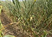
"Corn there looked like it was in a three-week drought, but it was actually a 10-day drought. We refer to this as a flash drought,” he said.
Brandon Alberson, Extension agriculture agent in Tippah County, uses the app to submit a weather report every Monday morning for his county.
“I submit information such as how severe the drought appears, if it has improved or not since my last report, location where data was collected, and general comments of how it is affecting my county,” Alberson said. “I also submit a picture of the site where the data was collected.”
Alberson uses the app to submit data year-round.
“Good data provide indisputable evidence of what’s going on,” Alberson said. “Missing pieces of information restrict the decision-making process, and that’s why I feel it’s important to collect data year-round and not just during a drought.”
Alberson said the accumulation of these data gives growers information they need to make good decisions for their farms.
“By monitoring current weather conditions, I am giving my farmers another tool to help increase their farms’ resilience against unfavorable weather conditions,” he said.
The national Drought Monitor map is the authoritative source of drought information for the U.S. Once the map classifies a region as in a D3 or extreme drought, agriculture and livestock producers can begin to take advantage of a variety of federal assistance and insurance programs triggered off that data.
“It’s a very important map,” Brown said. “That’s one of the reasons we work so hard in Mississippi to get the most accurate classification that we can.”
The mobile device-based app was developed six years ago by the MSU Office of the State Climatologist and MSU Extension. Extension agents in the counties are trained in how to collect and submit data, and their use of the app has increased in recent years.
Josh Tilley, a first-year Extension agricultural agent in Lowndes County, learned how to use the app and submitted information weekly during the growing season when drought conditions were obvious.
“It helps to give the farmers in our county a local voice in reporting drought conditions,” Tilley said. “This data is also used to open the opportunity for government assistance programs during natural disasters such as droughts.”


